
Seasons and sky
Tidal Datum
Direct answer
Tidal Datum: A Tidal Datum is a local reference elevation derived from a defined phase or statistic of observed water levels over a specified epoch.
A Tidal Datum is a local water-level reference based on tide observations.
$0 today, then $12/month after 7 days. Cancel anytime.
At a glance
- Found in
- Seasons & Earth Almanac
- Related
- Tidal Range, Semidiurnal Tide, Astronomical Season, Equinox
A Tidal Datum is a local water-level reference based on tide observations.
A Sun-Earth orientation for seasonal, atmospheric, tidal, and terrestrial terms.
What does your own chart say about you?
Choose love, work or purpose. Your reading is written from your chart. Your reading uses your own birth details.
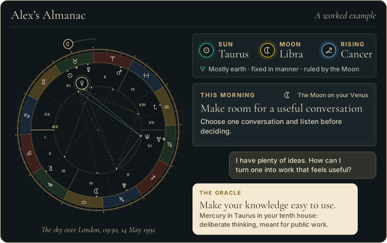
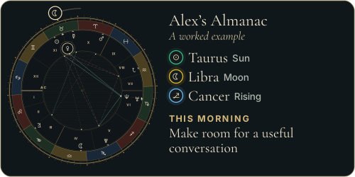
Walk through Alex’s whole example first
 The Road of AgesSee the turning points of your whole life, from your birth date
See your road's shape
The Road of AgesSee the turning points of your whole life, from your birth date
See your road's shape
Prefer to explore first?
 The Road of AgesThe turning points of your whole life, from your own chart
Walk my road
The Road of AgesThe turning points of your whole life, from your own chart
Walk my road
Free, by email
Your daily Almanac letter
One short letter at 7 each morning: the day’s theme read for your own chart, and one thing to do with it.
The story behind Tidal Datum
Long tide-gauge records enabled national agencies to establish consistent local datums such as Mean Lower Low Water.
Why Tidal Datum matters
Charts, coastal boundaries, flood thresholds, and engineering elevations need a stable stated zero.
Tidal Datum in practice: an example
A charted depth referenced to Mean Lower Low Water is not measured from the same zero as an elevation referenced to a land datum.
Where readings of Tidal Datum go wrong
It is a mistake to extend a local Tidal Datum into hydrologically different waters without measurements and an authorized transformation.
Sources and editorial method
Research references used for this entry include:
- NOAA Tides and Currents Glossary - Operational definitions for tides, tidal currents, ranges, datums, bores, and amphidromic systems.
- Source
- The Great Almanac Dictionary
- Category
- Seasons & Earth Almanac
- Last updated
- 2026-09-26
Name the coastal reference level
A definition tells you what it is; your own birth chart tells you what it means for you. The Oracle casts your real chart and answers for your love, your work, and your year ahead, in conversation. It opens with the 7-day Seeker trial.
Speak with the OracleRelated terms
More in Seasons & Earth Almanac
- Astronomical Dusk
- Civil Dusk
- Diurnal Tide
- Glory
- March Equinox
- Nautical Twilight
- Season Length Asymmetry
From the reference page to your own chart
Every word here
is in your own chart.
- A personal reading about love, work or purpose, written from your chart
- A practical next step to consider
- It opens with 7 days free, with the AI Oracle and daily guidance
$0 today, then $12/month after 7 days. Cancel anytime.
Common questions
What is a Tidal Datum?
A Tidal Datum is a local reference elevation derived from a defined phase or statistic of observed water levels over a specified epoch.
What do people get wrong about a Tidal Datum?
It is a mistake to extend a local Tidal Datum into hydrologically different waters without measurements and an authorized transformation.
Free, by email
The Almanac, in your inbox at 7
One short letter at 7 each morning: the day’s theme read for your own chart, and one thing to do with it.