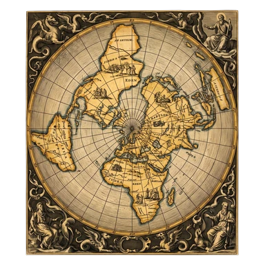
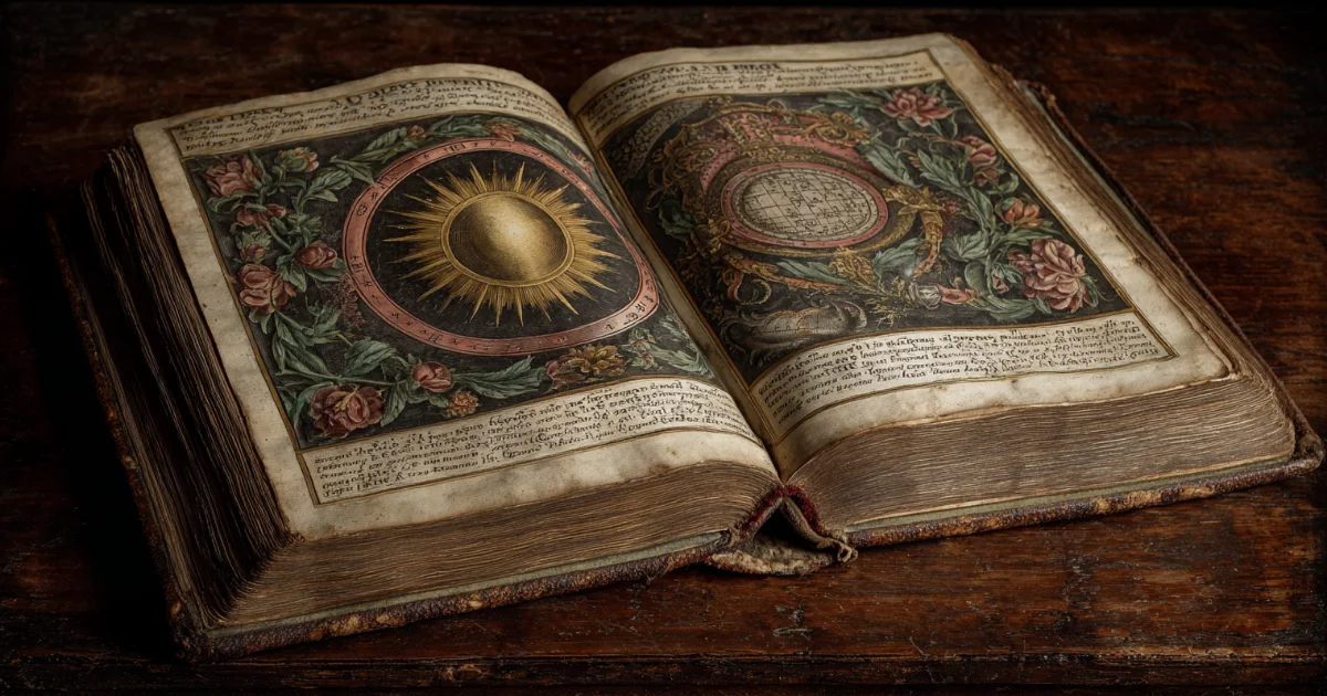
Astrolabe
A rotating star map and analog calculator used for altitude, time, direction, and other problems.
Explore how astrolabes, quadrants, armillary spheres, planispheres, sundials, and orreries turned sky geometry into usable instruments.
$0 today, then $12/month after 7 days. Cancel anytime.
Historical astronomical instruments are physical models and measuring tools, not merely decoration. They encoded coordinate systems, local latitude, timekeeping, navigation, and calculation in metal, wood, paper, and carefully engraved scales.
A rotating star map and analog calculator used for altitude, time, direction, and other problems.
A quarter-circle instrument for measuring altitude and applying trigonometric or calendrical scales.
A mechanical model of orbital relationships; educational proportions are often not to scale.
A planispheric astrolabe projects the celestial sphere onto a flat instrument. Its mater holds latitude-specific plates; the rete carries star pointers and the ecliptic; a rule and alidade support reading and sighting. With the proper plate and procedure, a user could solve problems involving time, star altitude, direction, and the apparent daily sky. It is both a map and an analog computer.
Quadrants measure altitude along a graduated quarter circle and can carry additional calculating scales. Mariners adapted altitude instruments to estimate latitude from the Sun or stars, while cross-staffs and backstaffs changed how an observer aligned the horizon and celestial body. Each design reflects compromises among precision, portability, wind, ship motion, and eye safety.
An armillary sphere represents important celestial circles (equator, ecliptic, horizon, meridian, and others) as rings around a center. A celestial globe maps stars onto a sphere and makes coordinate relationships tangible. These instruments teach frames and rotations especially well, but the apparent sky still has to be transformed for a place and time.
A rotating planisphere gives a practical horizon view for a latitude band and date-time setting. Sundials convert the Sun’s apparent motion into local solar time, which differs from civil clock time by longitude, time-zone conventions, daylight-saving rules, and the equation of time. Historical users needed tables and practiced technique, not just an attractive dial.
A modern digital orrery inherits the old ambition to make cyclic coordinates visible. The Almanac wheel plots verified current longitude and angular relationships, while openly declining to imitate orbital scale or local visibility. That limitation is part of the instrument’s honesty: every model emphasizes some relationships and leaves others for a different tool.
Astrolabes were developed, refined, and used across Greek, Islamic, European, Indian, and other knowledge traditions. Museum records preserve maker names, inscriptions, latitude plates, and specific uses that generic “ancient mystery” language erases. Treat an object as a documented scientific and cultural artifact before treating it as esoteric décor.


Choose love, work or purpose. Your reading is written from your chart. Your reading uses your own birth details.
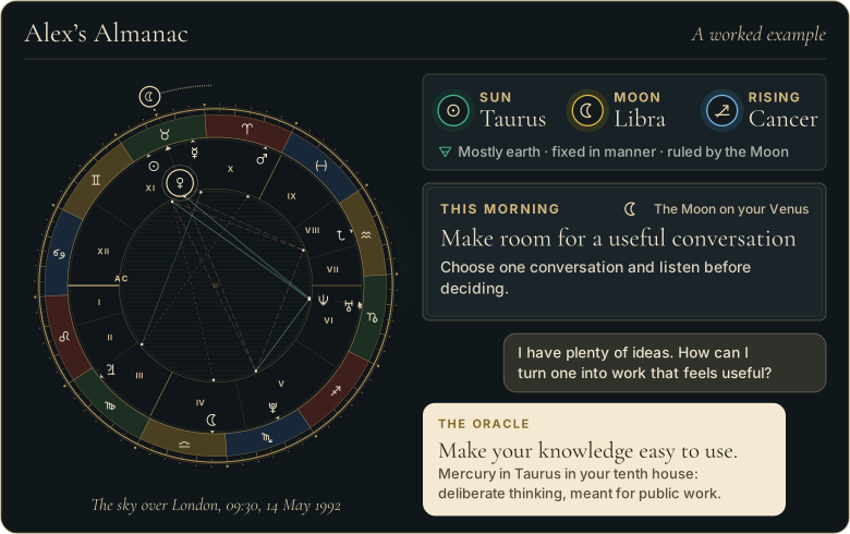
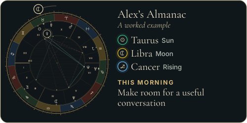
Walk through Alex’s whole example first
 The Road of AgesSee the turning points of your whole life, from your birth date
See your road's shape
The Road of AgesSee the turning points of your whole life, from your birth date
See your road's shape
 The Road of AgesThe turning points of your whole life, from your own chart
Walk my road
The Road of AgesThe turning points of your whole life, from your own chart
Walk my road
Free, by email
One short letter at 7 each morning: the day’s theme read for your own chart, and one thing to do with it.
From the reference page to your own chart
$0 today, then $12/month after 7 days. Cancel anytime.
Yes. It combined a star map, coordinate projection, sighting components, and scales for solving practical astronomical and timekeeping problems.
Usually not. Many prioritize readable angular relationships over true orbital size, distance, or speed; the model should state its scope.
The altitude and azimuth grid depends on latitude, so planispheric astrolabes often included plates made for particular places or latitude bands.
Free, by email
One short letter at 7 each morning: the day’s theme read for your own chart, and one thing to do with it.

Read more
Keep moving through the archive: signs, compatibility, chart timing, faith-aware discernment, and practical daily guidance.