Sky science
Equatorial Coordinate System
Direct answer
Equatorial Coordinate System: The Equatorial Coordinate System locates sky directions with right ascension and declination on Earth’s projected equator and poles.
It is the standard right-ascension and declination grid.
$0 today, then $12/month after 7 days. Cancel anytime.
At a glance
- Found in
- Astronomy & Skywatching
- Related
- Horizontal Coordinate System, Ecliptic Coordinate System, Astronomy, Skywatching
It is the standard right-ascension and declination grid.
A scientific orientation to scale, light, or motion; the article supplies the precise definition.
What does your own chart say about you?
Choose love, work or purpose. Your reading is written from your chart. Your reading uses your own birth details.
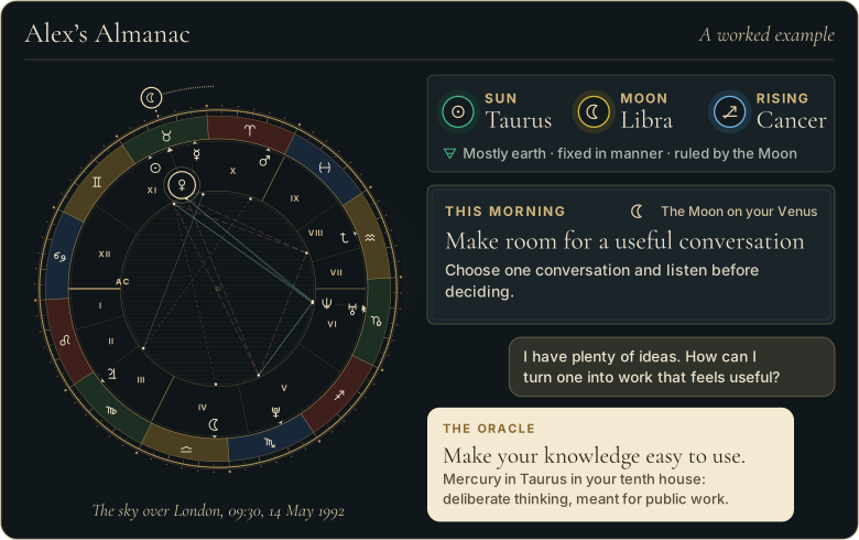
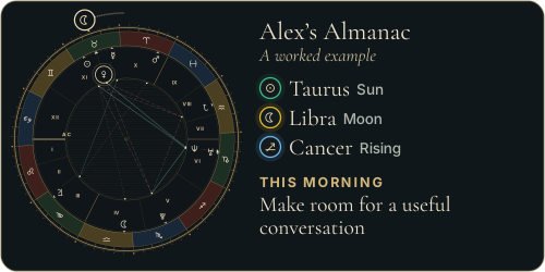
Walk through Alex’s whole example first
 The Road of AgesSee the turning points of your whole life, from your birth date
See your road's shape
The Road of AgesSee the turning points of your whole life, from your birth date
See your road's shape
Prefer to explore first?
 The Road of AgesThe turning points of your whole life, from your own chart
Walk my road
The Road of AgesThe turning points of your whole life, from your own chart
Walk my road
Free, by email
Your daily Almanac letter
One short letter at 7 each morning: the day’s theme read for your own chart, and one thing to do with it.
The story behind Equatorial Coordinate System
Equatorial catalogues became central to telescope pointing and positional astronomy.
A one-minute story
The Wandering Stars
How the moving planets were watched, named and found, and what a transit is.

Why Equatorial Coordinate System matters
Equatorial Coordinate System lets catalogues identify a sky position independently of one observer’s horizon.
How to read Equatorial Coordinate System
State the coordinate epoch and frame whenever precision matters.
Equatorial Coordinate System in practice: an example
A star may be catalogued at 5 hours right ascension and minus 8 degrees declination.
Where readings of Equatorial Coordinate System go wrong
Coordinates slowly change through precession, proper motion, and updated reference frames.
Sources and editorial method
Research references used for this entry include:
- U.S. Naval Observatory: Astronomical Almanac Glossary - Definitions for astronomical coordinates, time, reference systems, and observable phenomena.
- International Astronomical Union: Standards of Fundamental Astronomy - IAU-maintained standards and algorithms for astronomical reference systems and coordinate transformations.
- Source
- The Great Almanac Dictionary
- Category
- Astronomy & Skywatching
- Last updated
- 2026-09-26
Read the equatorial sky grid
A definition tells you what it is; your own birth chart tells you what it means for you. The Oracle casts your real chart and answers for your love, your work, and your year ahead, in conversation. It opens with the 7-day Seeker trial.
Speak with the OracleRelated terms
More in Astronomy & Skywatching
- Hour Angle
- Naked-Eye Astronomy
- Planetary Magnetosphere
- Reflection Nebula
- South Celestial Pole
- Two-Body Problem
- Ascending Orbital Node
- Celestial Equator
From the reference page to your own chart
Every word here
is in your own chart.
- A personal reading about love, work or purpose, written from your chart
- A practical next step to consider
- It opens with 7 days free, with the AI Oracle and daily guidance
$0 today, then $12/month after 7 days. Cancel anytime.
Common questions
What is the Equatorial Coordinate System?
The Equatorial Coordinate System locates sky directions with right ascension and declination on Earth’s projected equator and poles.
What do people get wrong about the Equatorial Coordinate System?
Coordinates slowly change through precession, proper motion, and updated reference frames.
Free, by email
The Almanac, in your inbox at 7
One short letter at 7 each morning: the day’s theme read for your own chart, and one thing to do with it.